ValyData
Open data from several European countries turned into indicators on an H3 hexagonal grid.
Territorial intelligence
ValyData
Context
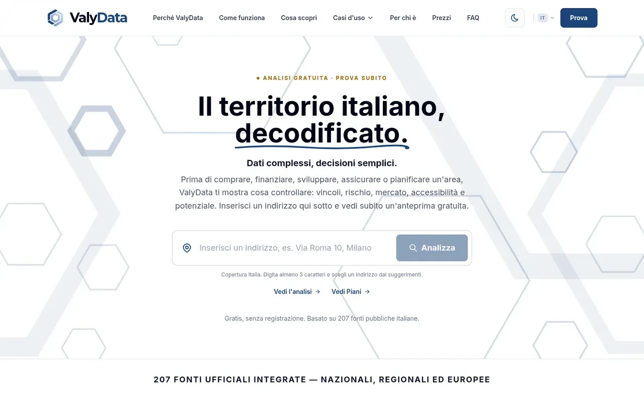
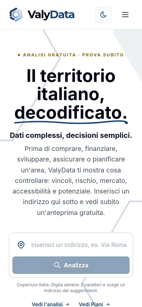
Public territorial data (land registry, energy, hazards, demographics) exists but is scattered across formats. ValyData brings it together to answer concrete questions: where to locate a project, how one site compares with another.
Approach
A Python ingestion engine collects about 300 sources (Italy, France, Spain, EU) and normalises them onto an H3 grid. The Nuxt/MapLibre application offers point queries, area screening, site ranking and comparison of 2–4 locations, history of changes, and PDF reports. Built with partner Mirai Digital.
Current status
Working product with real data for Italy.
- Point query and area screening
- H3 grid (resolutions 9 and 10)
- History of changes (SCD type 2)
- PDF reports per location
Next project
WebBase →